Advancing the exploration and development of coltan and cassiterite mineralization within the Rweru Mining Block in Bugesera District, Eastern Rwanda, through systematic geological mapping, geophysical surveys, drilling, and resource evaluation.
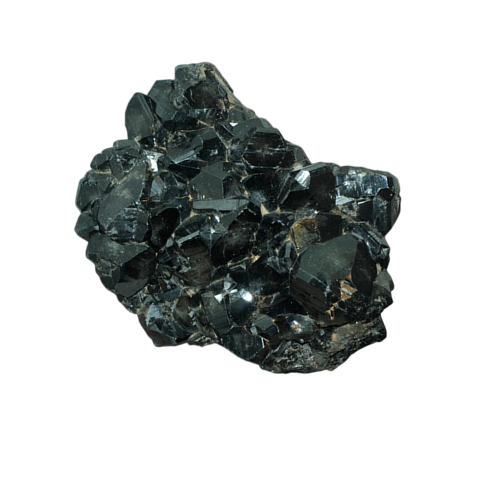
The Rweru Mining Block is located within Batima and Nkanga Cells of Rweru Sector, Bugesera District, Eastern Province of Rwanda, covering approximately 875 hectares. The project is positioned within a highly prospective mineralized region known for coltan and cassiterite occurrences associated with pegmatites and quartz veins.
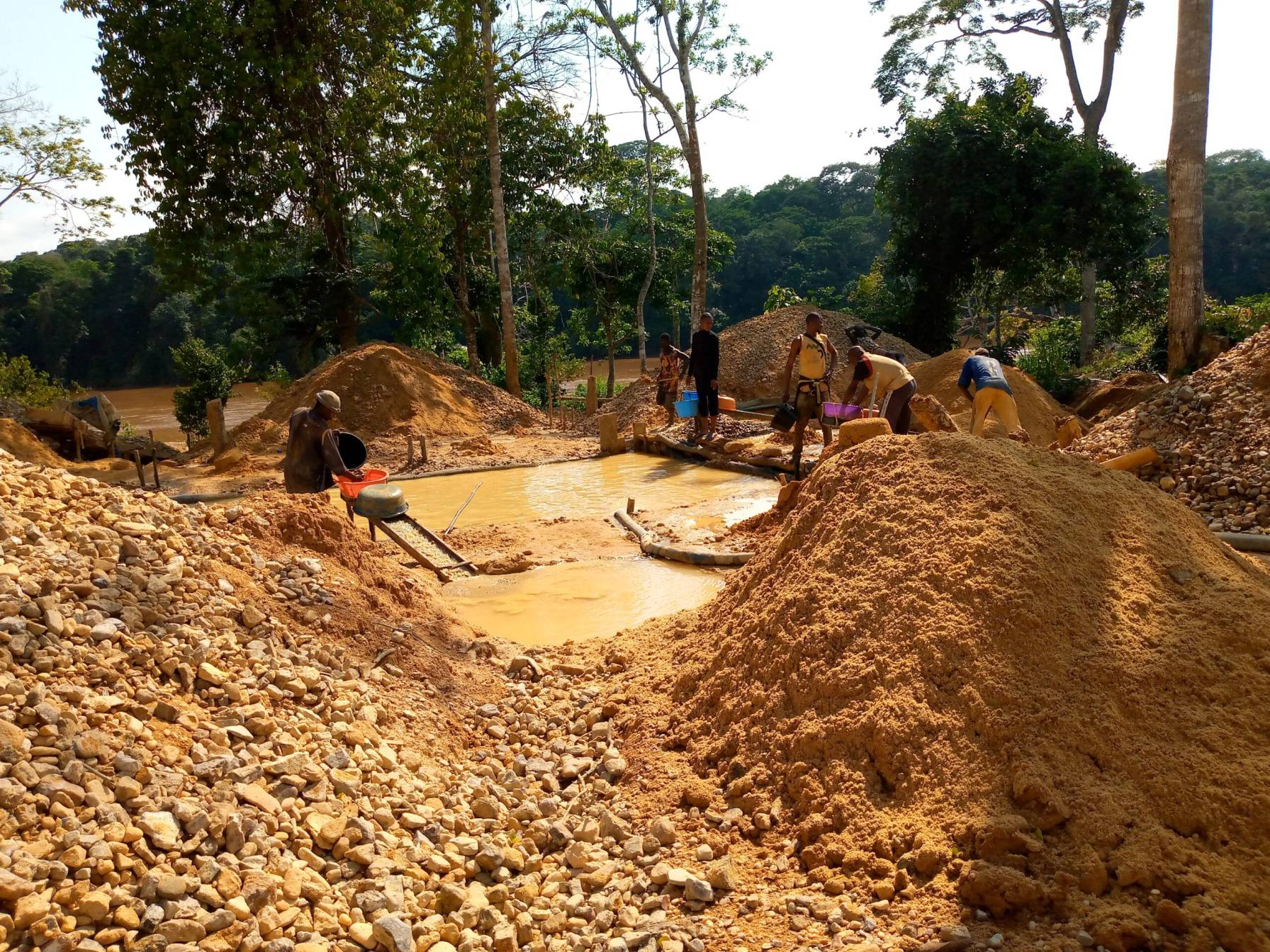
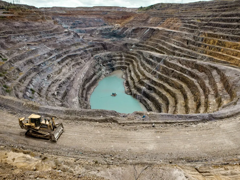

The project aims to systematically evaluate the mineral potential of the Rweru Block through geological mapping, geophysical investigations, RC and diamond drilling, resource modelling, and future mine development.
Rwanda
Eastern Province
Mining Block
& Lake Gaharwa
Regional East African Trade Corridors
Rwanda is recognized as an important source of tin, tantalum, and tungsten (3Ts), supported by extensive mineralized pegmatite and quartz-vein systems.
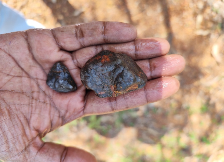
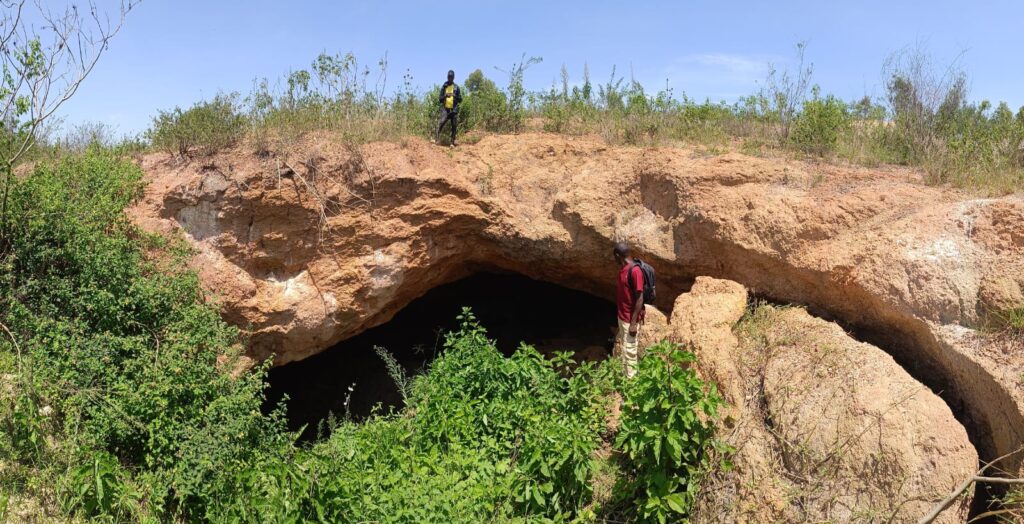
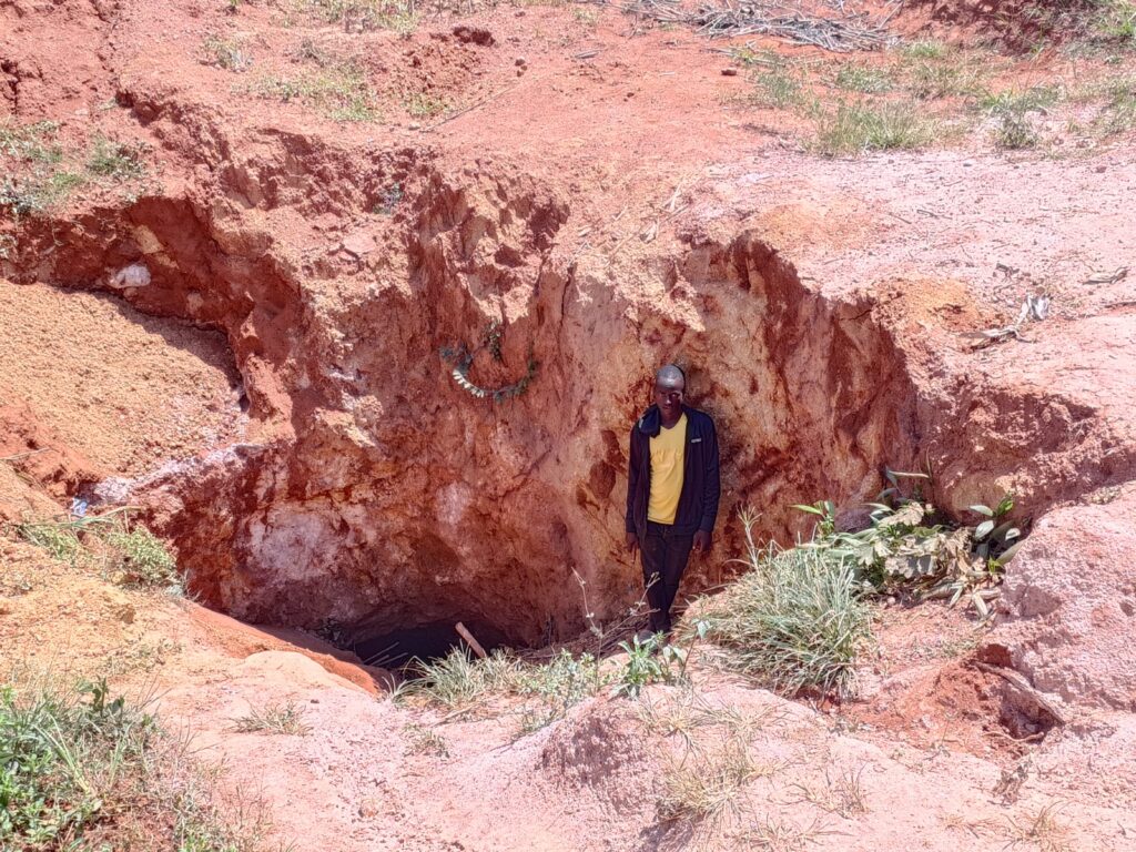
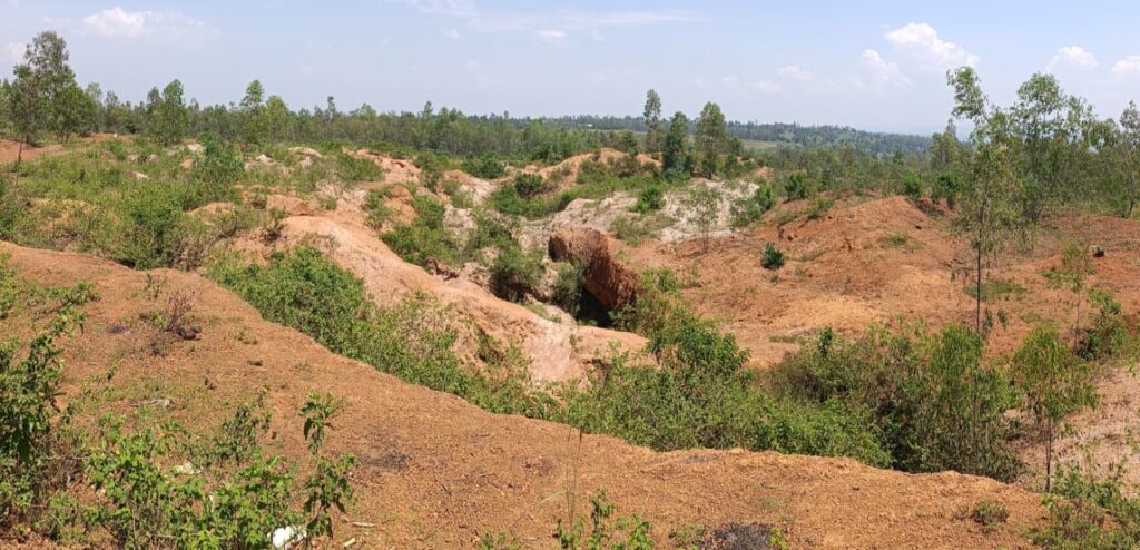
The Rweru Mining Block lies within a favorable geological environment with established historical mining activity and significant potential for further coltan and cassiterite resource development.
A detailed geological mapping program was conducted from January to March 2026, using systematic traverses spaced at 10-metre intervals to develop a detailed 1:1,000-scale geological map.
The mapping identified at least three major NE–SW trending pegmatites, with individual structures showing a minimum strike length of approximately 500 metres.
The Rweru project is advancing a systematic drilling program designed to evaluate the continuity, thickness, and depth of mineralization.
Mine Planning Support
Drilling results will provide the geological and analytical data required for resource estimation and three-dimensional ore-body modelling.
The exploration program has delivered several important geological and mineralization findings:
The combination of historical mining evidence, detailed geological mapping, identified pegmatite systems, and geophysical targets provides a strong foundation for further resource evaluation.
The ongoing RC and diamond drilling programs are designed to establish subsurface continuity and generate the data required for geological modelling and future resource estimation.
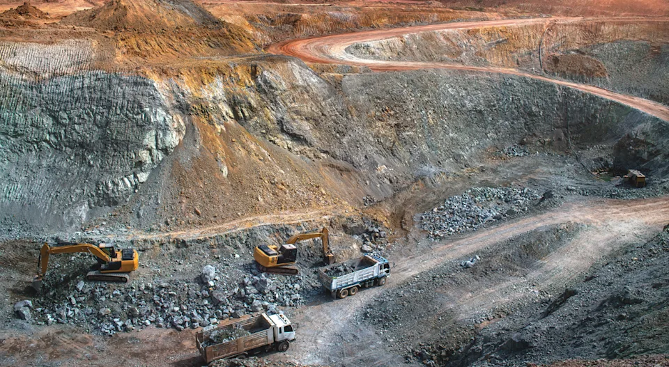

Following completion of drilling and laboratory analysis, the project will advance toward resource estimation, three-dimensional ore-body modelling, and detailed mine planning.
The phased approach is designed to progress the Rweru Mining Block from exploration and resource definition toward safe, efficient, and economically viable mineral production.
At Stratmin, we combine geological expertise, systematic exploration, modern geophysical techniques, and data-driven resource evaluation to advance critical mineral projects. From geological mapping and structural interpretation to drilling, resource modelling, and mine planning, our approach is focused on transforming promising mineral prospects into responsible and viable development opportunities.

Unlock greater efficiency, responsible resource development, and long-term value through Stratmin's integrated mining and exploration expertise.